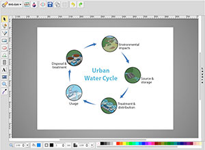
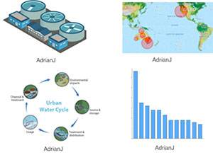
The graphs and maps tool allows students to generate visual representations of the data they enter as part of the modules. The diagram creator allows them to create conceptual diagrams detailing relevant aspects of their local water cycle. The gallery provides a repository for all the visuals they have created. All student generated visuals are available for direct incorporation into their H2O stories and other pages on the USAUS-H2) web portal.


